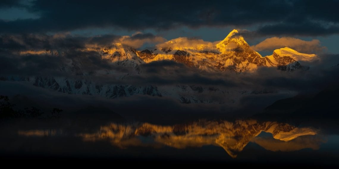
南迦巴瓦峰:地处喜马拉雅山脉、念青唐古拉山脉和横断山脉的交会处,是中国西藏林芝地区最高的山,海拔7782米,位于喜马拉雅山的东端(喜马拉雅山脉西起克什米尔的海拔8125米南迦一帕尔巴特峰,东至雅鲁藏布江大拐弯处的南迦巴瓦峰,全长2400公里)。它是西藏最古老的佛教“雍仲本教”的圣地,有“西藏众山之父”之称。同时,紧邻着的雅鲁藏布大峡谷绕着他转了一个马蹄形的弯,随后通向印度洋方向延伸出去。南迦巴瓦峰它还有另一个名字“木卓巴尔山”,其巨大的三角形峰体终年积雪,云雾缭绕,从不轻易露出真面目,所以它也被称为“羞女峰”。南迦巴瓦在藏浯中有多种解释,一为“雷电如火燃烧”,一为“直刺天空的长矛’,还有一为“天山掉下来的石头”。后一个名字来源于《格萨尔王传》中的“门岭一战”,在这段中将南迦巴瓦峰描绘成状若“长矛直刺苍穹”。
Namcha Barwa or Namchabarwa (Tibetan: གནམས་ལྕགས་འབར་བ།, Wylie: Gnams lcags ‘bar ba, ZYPY: Namjagbarwa; Chinese: 南迦巴瓦峰, Pinyin: Nánjiābāwǎ Fēng) is a mountain in the TibetanHimalaya. The traditional definition of the Himalaya extending from the Indus River to the Brahmaputra would make it the eastern anchor of the entire mountain chain, and it is the highest peak of its own section as well as Earth’s easternmost peak over 7,600 metres.[2]


